Map reading and interpretation by
6
What is a map
- It's a representative of the earth or a portion of the earth on a flat surface
- The flat surface can be a piece of paper ,chalkboard or a globe
- What map representation?
- Map representation is a process of giving meaning to the features shown on a map
ELEMENTS OF A MAP
Frame
Example
Frame is the border that surrounds and supports a picture or a map
Title discribes the topic of a map.
Title
It also gives iinformation that they need in order to use the map .
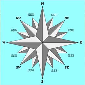
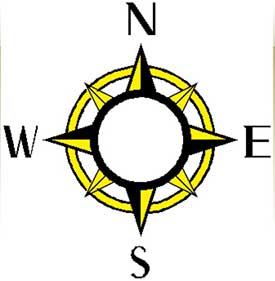
Compass direction
Sixteen point are mainly used
It is used to tell direction of an object from another
The four main points of the compass direction
points are called cardinals
◆North
◆East
◆South
◆West
Key
Real features and distances on a map are represented using special techniques
These techniques include;
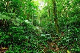
a. colours
Are used to show vegetation.
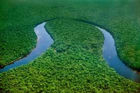
b.Water bodies for example rivers and lakes
Yellow colour; is used to show plains
c. Plain
Brown colour;is used to show highlands
6
Purple; is used to show mountain peak Mountain.
d.Mountain
Mountain peak
Brown colour; is used to show lowlands and vegetation
e.Lowlands
Vegetation
b)Symbols; are used to identify economyactivities in an area
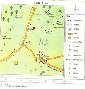
Sereti area
SCALE ;is the relationship ibetween distances on a map and the actual distances on the ground.
A map
Scale
(b) INTERPRETING HUMAN ACTIVITIES
•These are things that people do or engage in to get income.
•These activities are usually represented in a map using symbols
•These activities include ;
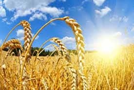
Crop farming
Wh____
T____
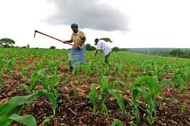
M___
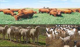
Livestock farming
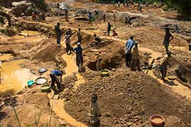
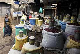
Mining
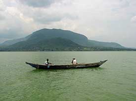
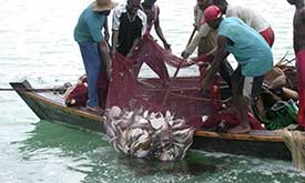
Fishing
Trade
6
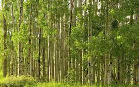
Forest
• Identity the pictures
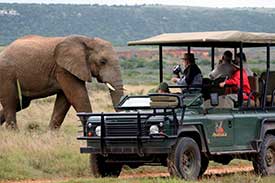
Tourism
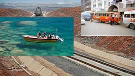
Transportation
Name the pictures
- W_______
- Ro_____
- Rai________
The key for human activities
• Examples of symbols representing the activities taking place in a given map
• Remember fishing is represented by a fish trap (FT) and other related symbols
(c) Interpreting drainag features
• They include;
(a) lake
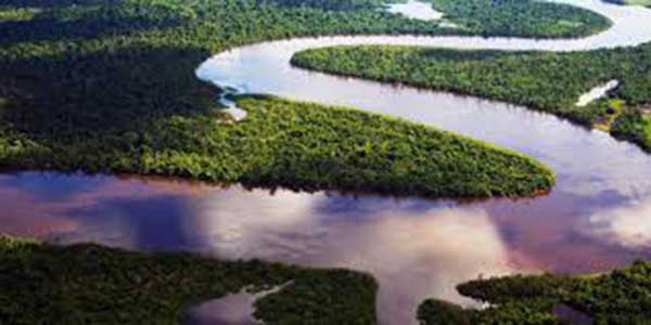
(b) River
6
(c) sea/ocean
Sea

Ocean
Name the pictures
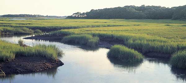
(d) swamp
( e)Spring
(f)Dam
• Artificial water body
(g) Borehole/ waterhole
• Name the pictures
The symbols representing drainage features
• Key 
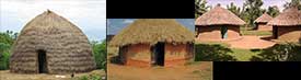
(h) Interpreting settlements
• These are huts and houses

Symbols for huts and houses
- Huts
- Permanent houses/buildings
6
(I) Interpreting vegetation Vegetation include;
( i) Forests
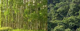
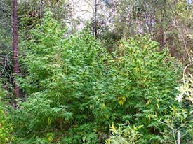
(ii) Thickest
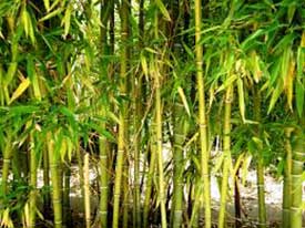
(iii) Bamboo forests
(iv) Riverine trees

Symbols for interpreting vegetation
(v) Interpreting administration in the area
• Administrative features include;
◆Boundaries for locations, divisions,districts, towns, urban , municipalies, cities and counties
|
Name
|
administrator
|
symbol
|
|
Location
|
chief
|
cc
|
|
Division
|
District officer
|
Do
|
|
District
|
District commissioner
|
Dc
|
|
Town
|
Chairman
|
Tco
|
|
Municipal
|
Mayor
|
mco
|
|
City council
|
Mayor
|
Cco
|
|
County
|
Governor
|
co
|
QUESTIONS
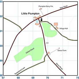
Use the map below to answer the following questions,nos.1_5
- Maki area is likely to be administered by_____
- The direction of the quarry from the coffee plantation is ______
- The presence of livestock in Maki is shown by____
- Th main means of transport in Maki area is____
- The cash crop grown in Maki area is____
- List five elements of a map
- _____is used to show direction
- List Five economic activities in a map
ANSWERS
1.Chief
2.North East (NE)
3.Cattle dip (CD)
4.Road
5.Coffee
6.Frame, Title, key, compass direction and Scale
7.Compass direction
8.Trade, transportation, tourism, crop farming, livestock farming , Fishing , mining and forestry